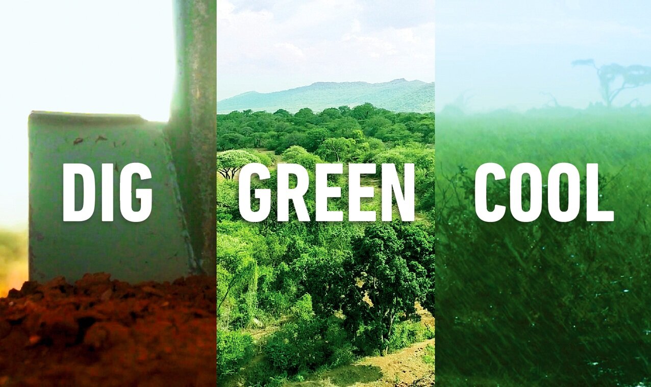
Justdiggit is a non-profit organisation on a mission to regreen Africa in the coming 10 years. It aims to achieve this by using traditional and scalable landscape restoration techniques, partnering with local communities and organisations. In order to track and improve its impact, we helped their cause by developing a computer vision model which detects trees on drone images in order to automate tracking.

Project
Counting trees with Justdiggit
Counting trees with Justdiggit
Expertise
Industry, Data science
Industry, Data science
Client
Justdiggit
Justdiggit
Industry
Project type
Geography
Year
2019-current
2019-current
Website
https://justdiggit.org/nl/
https://justdiggit.org/nl/
Challenge
Justdiggit is a non-profit organization on a mission to regreen Africa in the coming 10 years. One technique it uses to achieve this is ‘treecovery’, or Farmer Managed Natural Regeneration. This technique involves regrowing living tree stumps, by selecting, pruning and protecting them. Justdiggit teaches and encourages local communities in Africa to embrace this technique, which is beneficial for their land, and the climate.
Of course, it is very important for Justdiggit and its donors to track the impact it is making. Currently, when starting a project in a new area, Justdiggit often employs local people to manually track the amount of trees and their health. This is a laborious and expensive process, and scales poorly. Justdiggit would like to track their impact in the longer term in a more automated and streamlined way.

Our solution
There are several existing solutions to identify trees, however they are mostly based on satellite data (which has a lower resolution than drone data) and are geared towards identifying trees in forests. Justdiggit’s restoration project focuses on restoring trees outside the forest, and hence the existing solutions are not sufficient..
Therefore Lynxx developed a new computer vision model to detect trees and their sizes in drone images. About once a year such drone images are made of areas in which Justdiggit treecovery programs are active. Together with Justdiggit we started by analyzing and annotating the drone imagery, which was then used to train a computer vision model.
We built a pipeline that directly ingests the output of the drone, and returns images with the detected trees. Several post processing steps are implemented to arrive at an automated count. For a specific area, images and tree counts for different years can easily be compared to track the development of trees in that area.
Results
Our machine learning model allows Justdiggit to gain fast and accurate insight into the number of trees, and helps them to track the development of the trees over time, as well as the CO2 impact. In this way, Justdiggit can track their projects more efficiently, and show their positive impact to their donors and the farmers involved.


